A cold front will hit Millburn and Livingston with thunderstorms and wind gusts up to 40 mph Friday, Oct. 16, the National Weather Service said. Temperatures near 76 degrees Friday afternoon will plunge toward the mid-30s by Saturday night.
The NWS forecast for Millburn calls for showers before 11 a.m. Friday, then showers and a possible thunderstorm after 5 p.m. The chance of precipitation is 80 percent. Friday night brings more storms before 11 p.m., with winds shifting northwest after midnight and gusting as high as 26 mph.
A strong cold front moving through Friday evening will drag much colder and drier air into the region, according to the NWS office in Mount Holly. Forecasters said wind gusts of 30 to 40 mph are possible, and they are not ruling out stronger gusts.
"Scattered to widespread showers and some storms are likely to form along and immediately ahead of the cold front," the NWS said in its area forecast discussion. "It remains a possibility that a few storms could become severe, with damaging wind gusts being the primary hazard."
Most of New Jersey is under a marginal risk for severe storms, rated one out of five on the NWS scale, with parts of the state under a slight risk at two out of five, Patch reported.
Saturday, Oct. 17, will feel nothing like Friday. The Millburn forecast calls for a high near 52 degrees with north winds around 15 mph and gusts up to 29 mph. Saturday night drops to around 37 degrees under mostly clear skies.
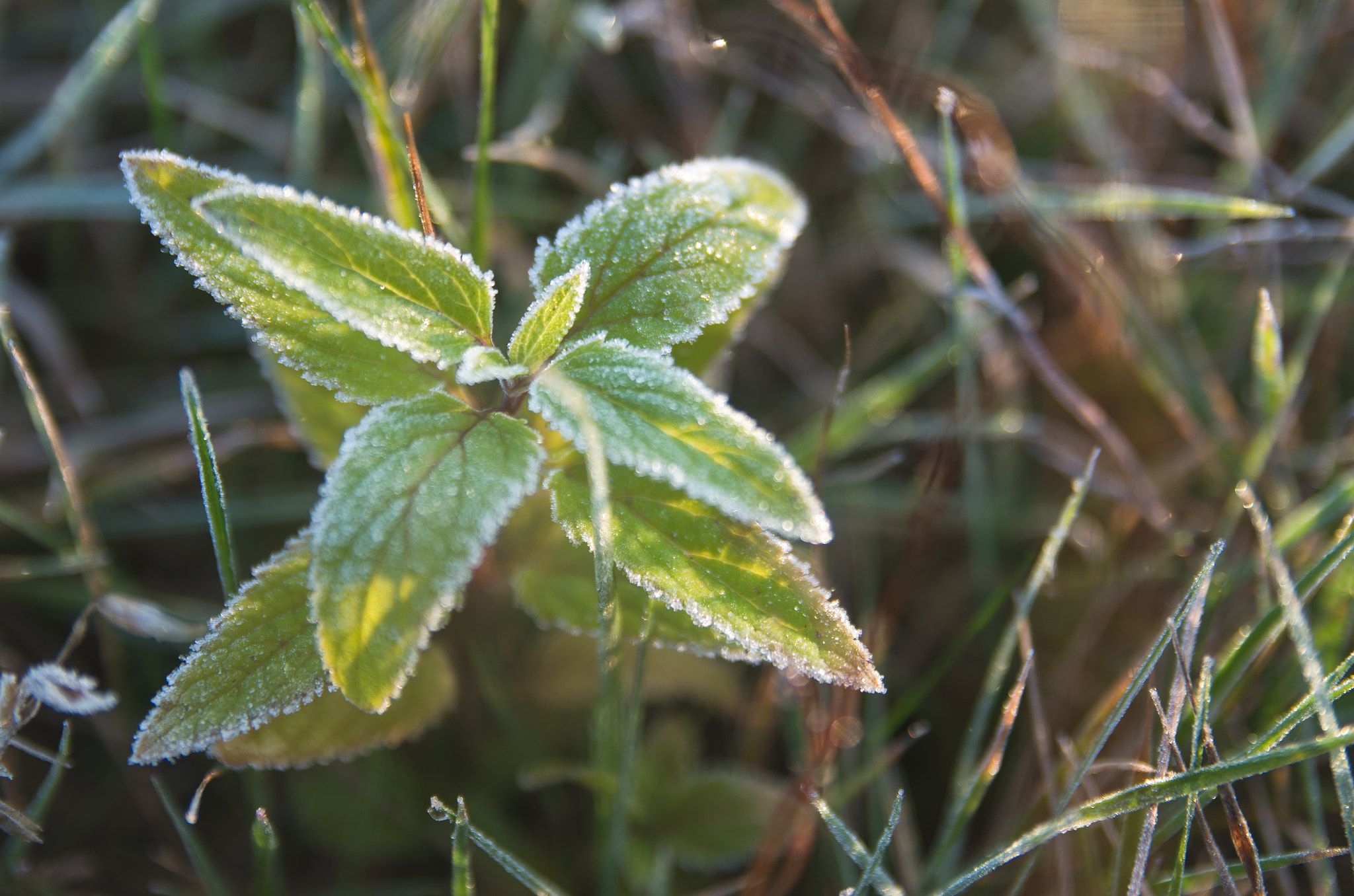
Mount Holly forecaster Cooper wrote that widespread frost and freeze conditions are increasingly likely Saturday night. Lows in the mid-30s to near 40 are expected across much of the area, with parts of North Jersey potentially dropping below freezing. The NWS said a "fairly widespread frost" is expected across most of New Jersey.
The broader North Jersey forecast calls for frost before 10 a.m. Sunday, Oct. 18, followed by sunny skies and a high near 55 degrees. Temperatures climb back toward 60 degrees by Monday, Oct. 19.
Mount Holly forecasters said frost and freeze headlines are increasingly likely to be issued in upcoming forecast cycles.